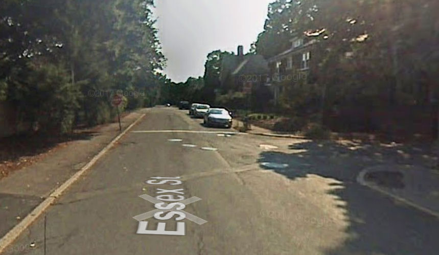
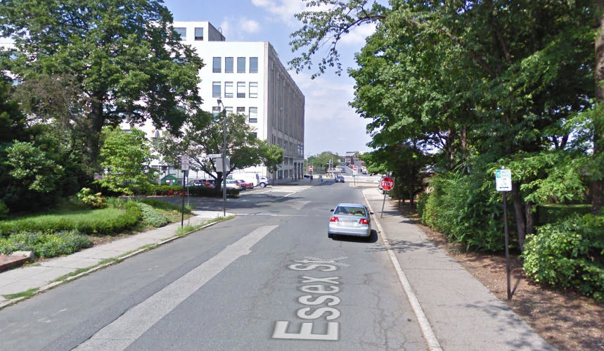
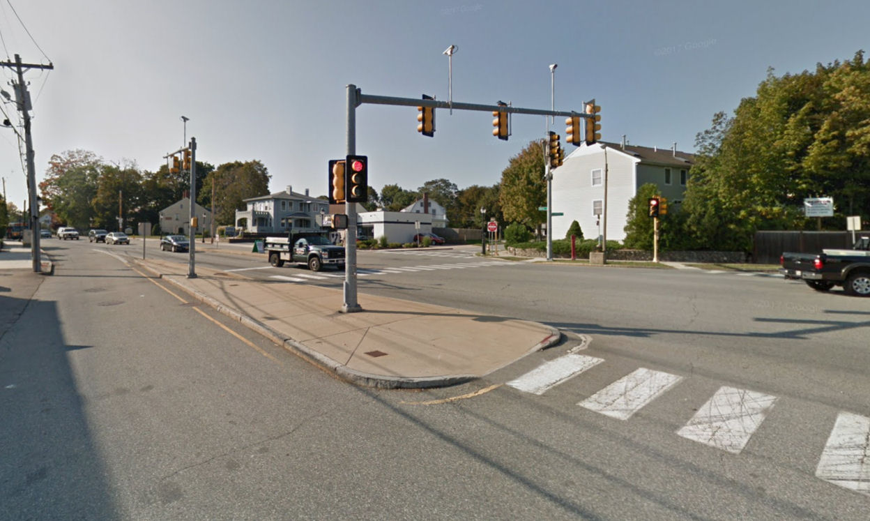
Let’s take a look at the intersection of Essex Street with Dummer Street in Brookline over the years, with the aid of Google Street Views. Essex Street leads south from Commonwealth Avenue opposite the Boston University Bridge — see Google map.
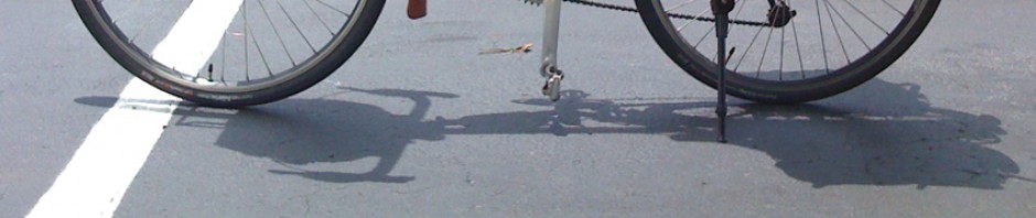
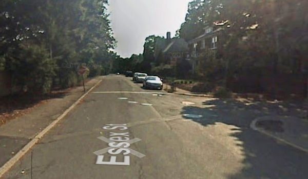
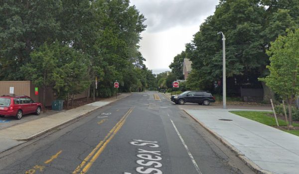
In 2007, Essex Street had parking on the west side, which resulted in wrong-way dooring conflicts with (then illegal) contraflow bicycle traffic. In order to prevent motor traffic from using Essex Street as a cut-through, it was one-way for one block south of Dummer Street, with no exception for bicyclists. That was unfortunate, as Essex Street was plenty wide for a contraflow bike lane for the one block where it was now one-way. We are looking south along Essex Street in the Google Street View below. Dummer Street goes off to the right.
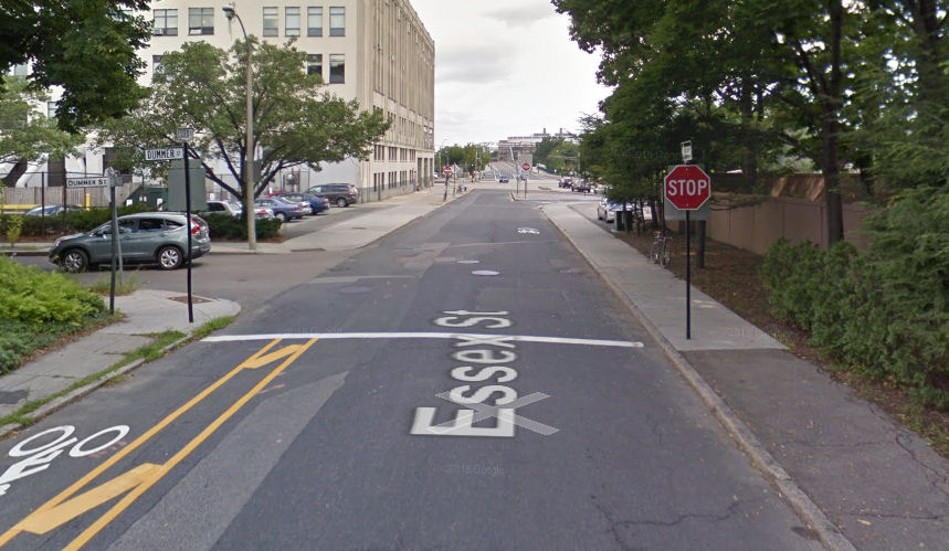
By August 2009, the parking had been switched to the east side of Essex street (view from the opposite direction, to show parking signs). Contraflow bicycle travel was still illegal.

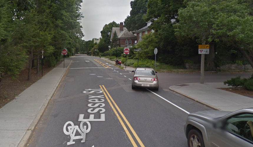
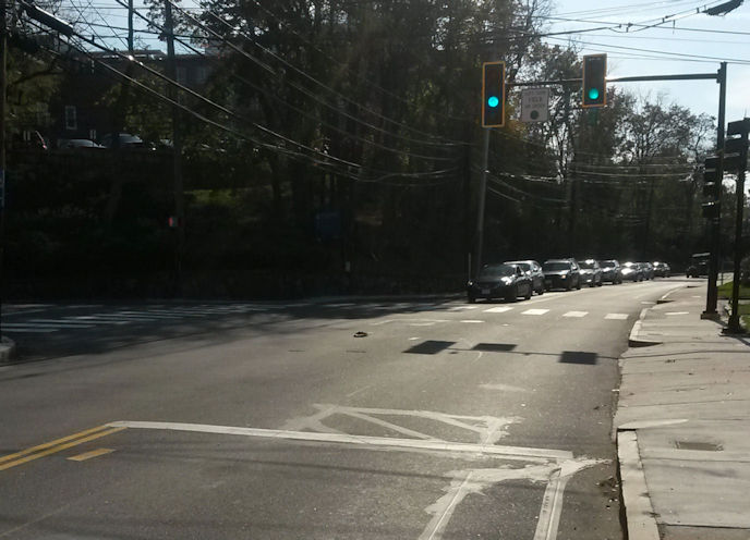
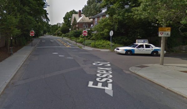
The situation remained unchanged in July, 2011. This is a view from the north. I described conditions then in an earlier post.
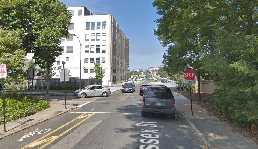
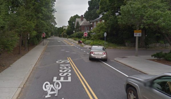
By August 2013, as shown in the next two Street Views, a contraflow bike lane had been delineated, as shown in the next two Street Views. At last!

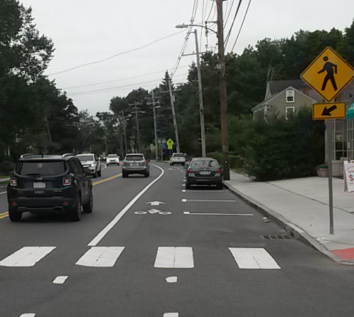
Shortly thereafter, a bike lane was striped up to the corner, encouraging bicyclists to keep to the right of right-turning motor traffic. Dashed stripes in the intersection instructed motorists like the one in the next Street View below to turn right from the left lane, a manufactured conflict. Bicyclists could still ignore the stripe and merge into the line of motor traffic anyway, and that made passage really easy. Many bicyclists though, not having been taught any better, made things much harder and more dangerous for themselves by following the paint. Comment by Sam Archer in a comment on a Facebook post:
I actually always turn right down Dummer because I hate going through that intersection.
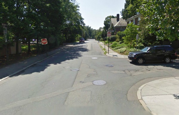
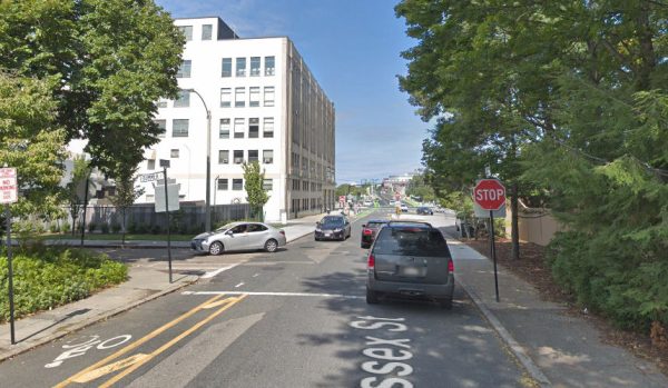
By September, 2018, the contraflow bicycle lane remained clearly delineated, but the bike lane stripes north of Dummer Street had largely worn away, and a sign instructing motorists to yield to bicycles on the corner had disappeared , as shown in the next two Street Views.
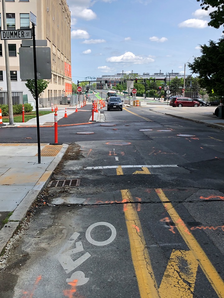
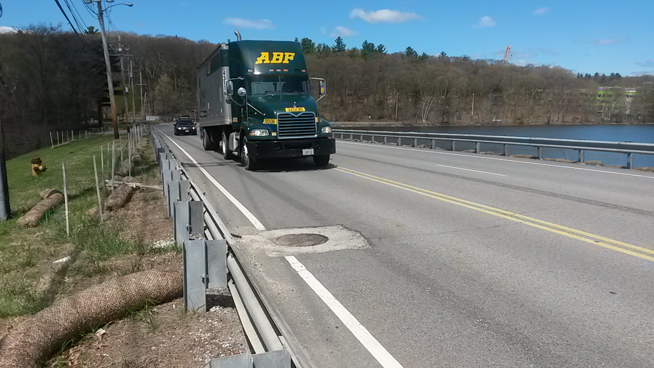
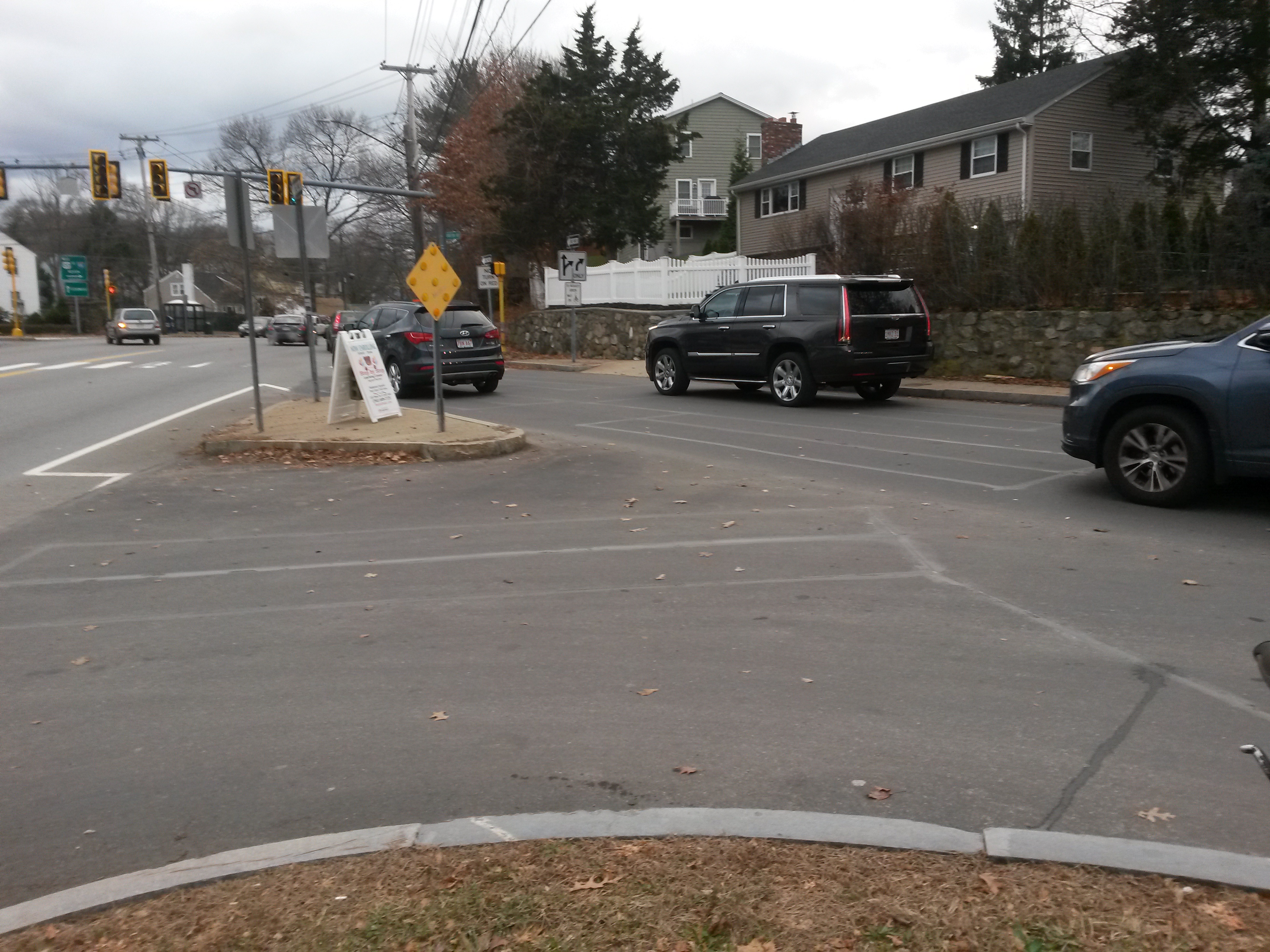
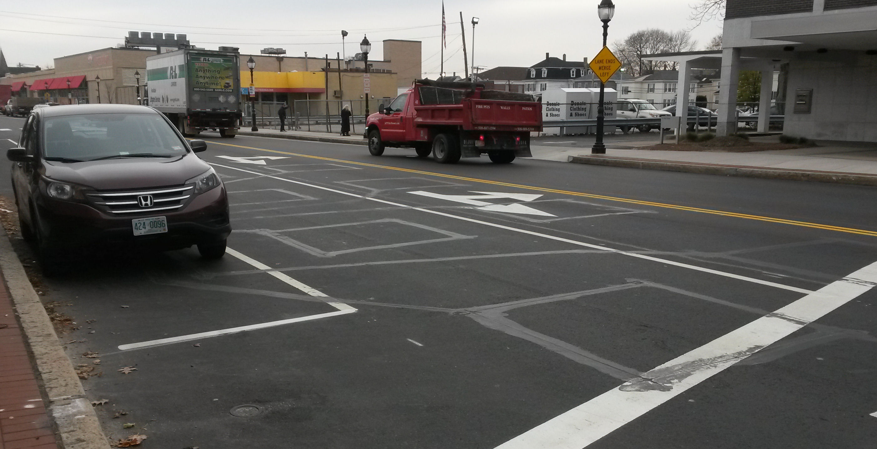
 How did this situation get remedied? By making it decidedly worse. In May 2019, a cycle track is being installed on the west side of Essex Street, further hardening and complicating the manufactured conflict. (Photo by Sam Archer, from the Facebook post).
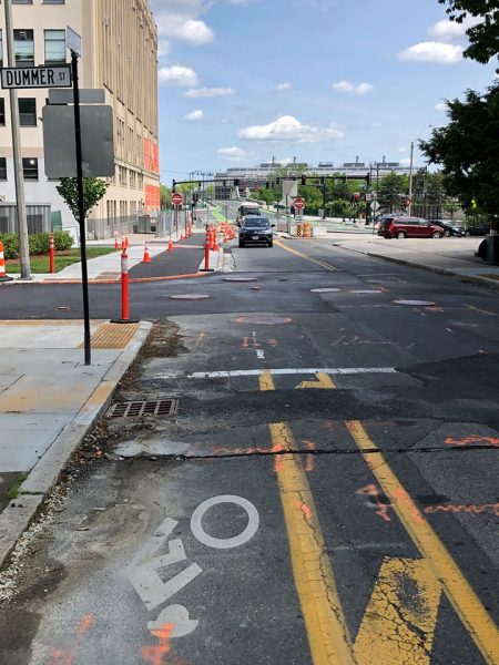
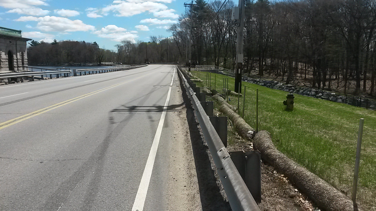
This installation makes it difficult for bicyclists traveling the street and for motorists interacting with them, by narrowing the travel lane (note moved curb line). Bicyclists can no longer merge on Essex Street, as they could earlier, with or without the bike lane. Instead, bicyclists must carefully time their entry into Essex Street when no motor vehicles are entering, or else be forced into a right hook threat on the cycle track, or perhaps hop down the curb into the street. It does look as though it will be a low curb for the last 100 feet before Dummer Street, after the driveway conflict. Count your blessings, but will a motorist expect you to hop a curb to enter the street?
This is a stunning example of a manufactured conflict that increases delay and danger. ALL the motor traffic headed southbound on Essex Street will haveto turn right across the new cycle track onto Dummer Street. The bike lane on the bridge in the background, the cycle track in the middleground and the contraflow bike lane in the foreground don’t line up, so bicyclists are supposed to zig and zag. Bicyclists entering the Cycle track also will be in conflict with the heavy pedestrian traffic on the corner of Commonwealth Avenue. The appropriate location for a bicyclist continuing straight into the contraflow bicycle lane is in line with the motor traffic, and so an appropriate treatment would slow the motor traffic even more than would be necessary to turn right, so bicyclists could more easily make their way into the contraflow lane — say, a speed hump.
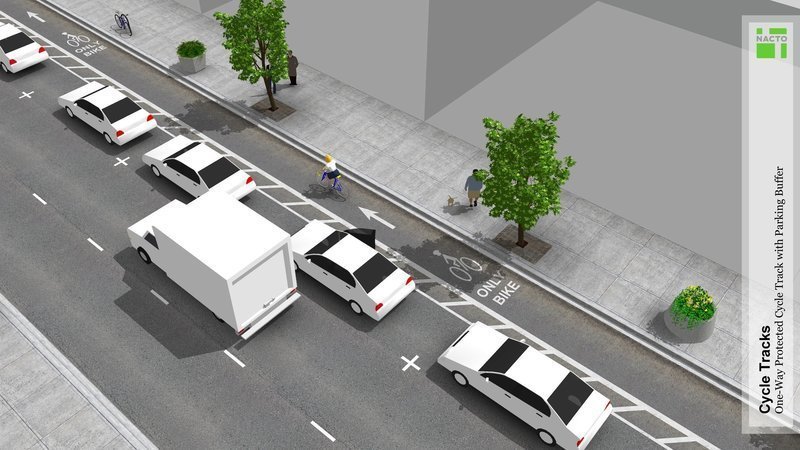
The installation being built terrible design based on false premises.What are these false premises? That bicyclists fare best in sidewalk space, and that motorists can always be relied to yield to bicyclists in their right rear blindspot.
When the largest single cause of fatal bicycle crashes in the Boston area is the right hook, why is the city leading bicyclists and motorists blindly into right-hook conflicts? Is merging into a line of slow motor traffic so horribly intimidating that we must replace it with a right hook wherever possible — especially, considering that this can’t possibly happen at more than a small percentage of intersections, because there is no funding to pay for “improvements” like this at every one of them? Please.