A new version of Google Street View allows views of the same location at different times, very helpful in tracing the history of road projects.
The view below of Massachusetts Avenue eastbound, just east of Harrison Avenue in Boston, Massachusetts is from August of 2009. Through lanes shift from left to right following a bus stop and before the start of a left-turn lane.
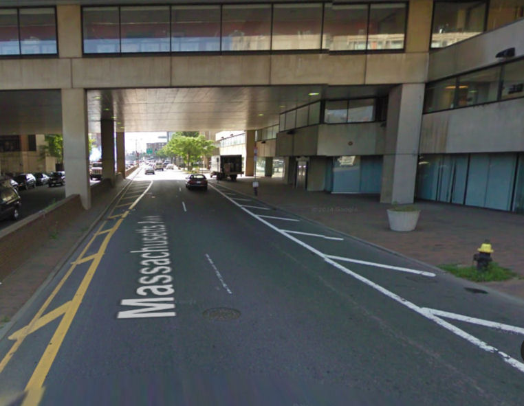
Massachusetts Avenue eastbound east of Harrison Avenue, 2009
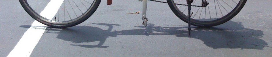
The Google Street View in the image below is from July, 2011, showing a a recently-installed bike lane. The travel lanes now go straight. To allow a third lane to start earlier, bike lane stripes duplicate the taper of the previous gore (no-drive zone) into the curb. A very similar photo was posted by DotBikes (bicycling advocacy organization for the Dorchester section of Boston).
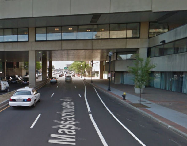
Vanishing bike lane at Massachusetts Avenue east of Harrison Avenue
The Street View photo below is from a little farther along the street and was taken in November, 2011, several months after the installation. The sign on the second lamppost reads “left lane must turn left” but for the Google camera and for drivers who sit high in the cabs of their vehicles, a solar panel for a Hubway kiosk obscures the sign.
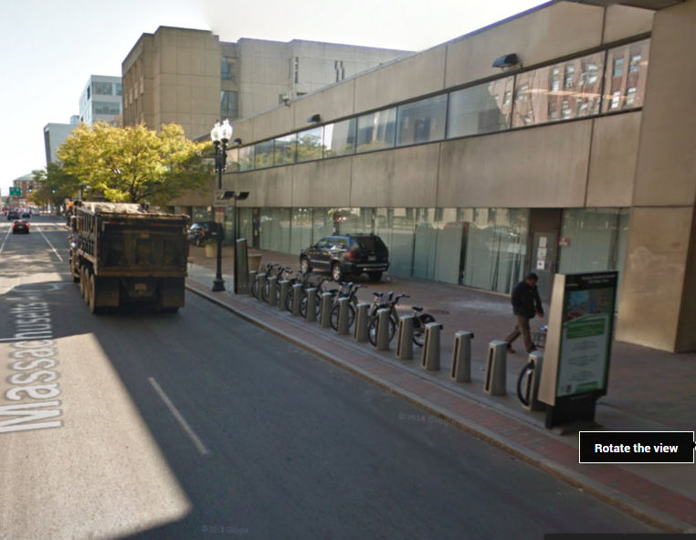
Signage following installation
The next year, the Hubway installation had been pulled a few feet farther from the sign, and in 2013 it had been moved somewhere else entirely.
The tapered bike lane is still there three years later in this view from May, 2014. This view shows the intent of the design, with the dashed line as the bike lane tapers out: motorists merge right into the right-hand lane, pushing bicyclists to the curb. Bicyclists are encouraged to ride along next to the curb, though the curb lane is not wide enough for side-by-side lane sharing.

Bike lane as of 2014.
A little farther along as of May 2014, there is a “share the road” sign, followed by a shared-lane marking placed close to the right side of the lane.
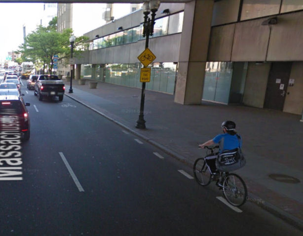
Share-the-road sign and SLM near right side of travel lane
The design intent is quite clear here: where the bike lane ends, bicyclists are supposed to move over to the curb so motorists can overtake them in a lane which is too narrow for safe overtaking. This installation promotes unsafe edge riding, ironically through use of the shared-lane marking and share-the-road sign which are meant to promote bicyclists’ riding centered in the lane.
A better installation here would simply terminate the bike lane and place shared-lane markings in the center of the right-hand lane after the bike lane ends. It’s also fair to ask why the sidewalks here have to be so unnecessarily wide. If you look back through the photos, you’ll see vehicles parked on the sidewalk including one large truck unloading. The sidewalk is so wide that these are no impediment to pedestrians. If not for those wide sidewalks, there would be room for side-by-side lane sharing here. I suppose that it’s fair to ask where the trucks would unload, but actually there’s enough room for off-street loading zones too, the sidewalks are so wide.
