I ride the River Street and Western Avenue frequently on my way between Waltham and Cambridge.
The Massachusetts Department of Conservation and Recreation plans to reconstruct these bridges.
The roadways need repair, and so do the sidewalks, which connect the paths on each side of the river.
But also, there are many issues with connections to streets, paths and sidewalks.
The Harvard campus expansion involves the construction of paths leading to the bridges, and the University and its consultants (Jacobs Consulting) should be involved in the discussion.
General comments
- There might be the possibility of a through bike lane or shared-lane marking at the Cambridge end of the River Street bridge and Boston end of the Western Avenue bridge to route through bicycle traffic to the left of right-turning motor traffic.
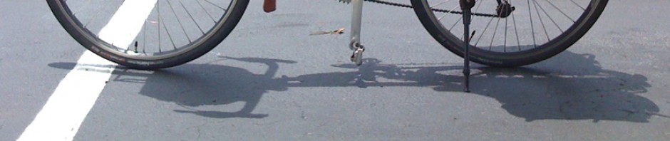
- Many curb ramps are narrower than the path and crosswalk, or oddly placed.
- There are poor sight lines at several ends of bridge railings, see, for example, the first photo on this page.
- Crosswalks at River Street and Memorial Drive were improved shortly after I took that photo –see Google Maps overview. If you have Google Earth, you can bring up historical imagery and see that the fourth crosswalk was added between October 27 and December 30, 2002 — as I recall, the City of Cambridge was campaigning loudly for this with the MDC, and I took my photo in support of that campaign.
- Also note the odd striping on River Street in the block after the bridge — there’s a gore on the right and then later on the left. There could be a bike lane and there might be room for a dedicated left-turn lane at Putnam Avenue too, if not for the gores.
Western Avenue and Memorial Drive
See Google Maps overview, also photo.
- There are only three crosswalks, paint is worn, no zebra striping.
- There could be a bike lane to left of right turn lane from River Street onto Memorial Drive, or shared-lane marking at the left side of the right-turn lane for bicycle traffic crossing the bridge.
Cambridge Street to Western Avenue, Allston
See discussion of this entire stretch on another Web page.
Can we push for reduction of the westbound frontage road between the bridges to one lane to widen the path along the river? Improvements to the bridges should include changes that would facilitate later work — bulbout at the Cambridge Street end, and moving the path toward the river at the Western Avenue end to keep two lanes at the end of the frontage road for queuing.
Western Avenue and Soldiers Field Road
- See Google Maps overview of intersection. There are photos and a discussion of this intersection starting about halfway down this page.
- Access from Western Avenue to the path is tolerable for pedestrians using the left sidewalk (using two crosswalks), but very inconvenient for bicyclists. Many cross Western Avenue to the left sidewalk so they have only two rather than four crosswalks to cross. One possibility might be a contraflow bicycle lane through the pork-shop traffic island where eastbound traffic on Western Avenue turns right before the bridge, and connecting to the crosswalk at Soldier’s Field Road. This would avoid an awkward, sharp left turn, though it still would be inconvenient for bicyclists headed west on the path.
Cambridge Street and Soldier’s Field Road
This intersection is a MESS. See Google Maps overview and also discussion at the top of this page.
- Believe it or not, Cambridge Street eastbound goes from three lanes to two and back to three, with a different lane allocation. Bizarre! Update: the right lane has now been converted into a bike lane, which sends bicyclists out into the intersection to the right of all motor traffic. The right-hand lane for motorists is a right-turn-only lane and leads onto Soldiers Field Road, from which bicyclists are prohibited. Correct lane position for bicyclists is in the next lane, see video here.
- Ramp from the Turnpike enters Cambridge Street close to the intersection, requiring a separate signal phase because there’s not enough length for merges.
- Traffic between the Turnpike ramp and Soldier’s Field Road is not well channelized. I suggest an island to separate traffic turning right onto Soldiers Field Road.
- Right-turning traffic from Soldier’s Field road westbound onto the bridge has right turn on red across the crosswalk for the path.
- The DoubleTree Hotel got its own signal phase for an exit driveway too, but on the other hand, there is no traffic signal at all for the Paul Dudley White path.
- The curb cut on the upriver side is far from the intersection, and the one on the downriver side is narrow and requires a sharp turn to negotiate.
- A large signal control box is in line with the path on the upriver side.
- There is no good way to turn left from the path onto Cambridge Street.
I’ve produced another video illustrating issues with this intersection. This intersection needs a complete redesign…most of which is unfortunately probably outside the scope of the project.
